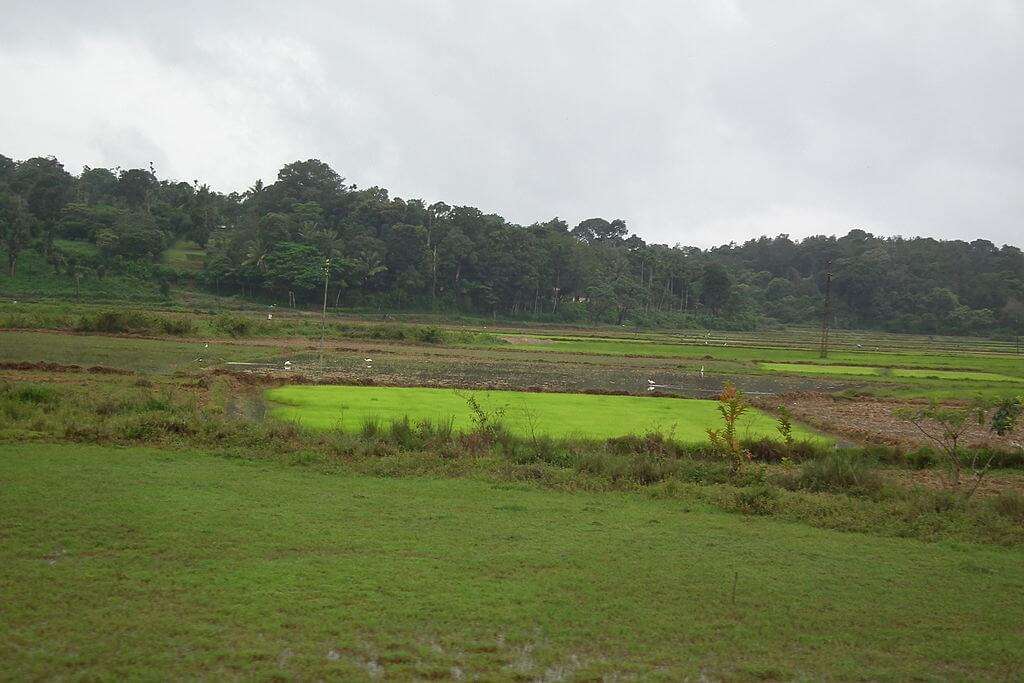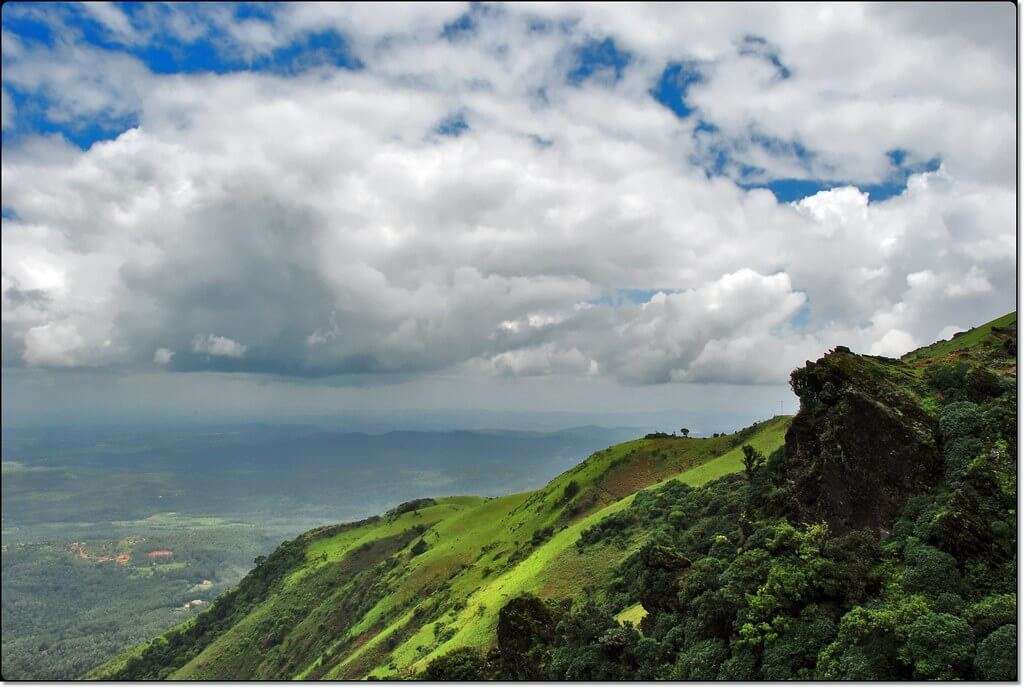
Karnataka the land of different worlds hosts few of the best hill stations in South India. The hill stations of Karnataka are located towards the Western Ghats that is connected from the corners of Gujarat till the coastal area of Kerala.
Coorg

Coorg is otherwise known as the Scotland of India and also called as Kodagu. Coorg is located at a distance of 265 km from Bengaluru and is among the top tourist destinations in the country. Madikere is the district capital of Coorg and it is situated at an altitude of 1525 meters on the Western Ghats. Coorg is also one of the popular hill stations in south India that attract tourists from Kerala, Tamil Nadu and Karnataka since long back.
Coorg was under the Gangas rule during the and 10th centuries and Cholas in the 11th century followed by Hoysalas.
| Distance between Bangalore to Coorg: | 267 km via Banglore – Shravanablagola – Kushalnagar- Madikeri road or 249km via Banglore- Mandya- Kushalnagar- Madikeri road. |
| Best time to visit Coorg: | Throughout the year |
| Coorg Weather: | Will be updated soon |
| Attractions of Coorg: | Tadiyandamol Peak, Dubare Elephant Camp, Pushpagiri Wildlife Sanctuary, Raja’s Seat, Abbey Falls, Talacauvery Nisargadhama, Harangi Dam, Bhagamandala, Madikeri Fort |
| Tourism Activities in Coorg: | Trekking, Cycling, Hiking, Waterfall Visits, Mountaineering. |
| Nearest railway station to Coorg: | Coorg doesn’t have a railway station on its own. The nearest railway station to Coorg is Mysore, which is about 120kms from Coorg. From Mysore, there are many trains that connect Coorg to rest of the country. The station code of Mysore is MYS. |
| How to Reach Coorg: | You can reach Coorg via road, rail, and air. More details can be found at How to reach Coorg by Train, flight and Road. |
Chikmagalur

Chikmagalur or simply Chikkamagaluru lies at an altitude of 3,400 feet at the foothills of Mulliyangiri range in the south-western part of the state. Chikmagalur is located at a distance of 240 km from Bengaluru.
Chikmagalur is famous for its serene environment, lush green forests, and tall mountains. There are a number of pilgrimage spots in Chikkamagaluru including the Baba Budan Giri which is the shrine of the Sufi saint Hazrat Dada Hayat Khalandar. Baba Budan Giri is an important pilgrimage site for both Hindus and Muslims.
| Distance between Bangalore to Chikamagalur: | 242km via Bengaluru – Yadiyur – Hasan -Chikamagaluru road or 241km via Bengaluru – Tumakuru – Arsikere – Chikkamagaluru road. |
| Best time to visit Chikkamagaluru: | September-May |
| Chikmagalur weather: | Will be updated soon |
| Places to visit in Chikmagalur: | Baba BudanGiri Range, Bhadra Wildlife Sanctuary & Reservoir, Kalasa, Khandya, Hebbe Falls. Kudremukh, Kemmanagundi, Gangamoola |
| Tourism Activities at Chikmagalur: | Trekking, Nature Trails, Waterfall Visits, Hiking, Plantation Tours, Kudremukh trek, Gangamoola trek. |
| Nearest Railway station to Chikmagalur: | Chikmagalur has its own railway station. The station code of Chikmagalur is CMGR. There are many trains that start from here that connects Chikkamagalur to rest of the country. |
| How to Reach Chikkamagaluru: | You can reach Chikkamagalur via road, rail, and air. More details can be found at How to reach Chikmagalur by Train, flight and Road. |
Agumbe

Agumbe is also known as the Cherrapunji of South India as it receives the highest amount of rainfall in Southern India and the second highest in the country. At a distance of 345km from Bengaluru and at an altitude of 2100 feet, Agumbe is a hill station located in Shimoga district in the Malnad region of Karnataka. Agumbe hill is one of the four peaks in the Western Ghats that borders the mainland and divides it from the coastal area.
| Distance between Bangalore to Agumbe: | 348km via Bengaluru – Hassan – Koppa – Agumbe road or 378km via Bengaluru – Tumakuru – Hiriyur – Hosadurga – Bhadra Wildlife Sanctuary – Agumbe road. |
| Best time to visit Agumbe: | October – February |
| Agumbeweather: | Will be updated soon |
| Places to visit in Agumbe: | Onake Abbi Falls, Koodlu Theertha Falls, Agumbe Rainforest Research Station, Kudadri. |
| Tourism Activities in Agumbe: | Forest Trekking, Waterfall Visits, Photography |
| Nearest Railway station to Agumbe: | Agumbe doesn’t have a railway station on its own. The nearest railway station to Agumbe is Udupi, which is about 54kms from Agumbe and Shimoga Railway Station which is 100km from Agumbe. From Uduppi & Shimoga, there are many trains that connect Agumbe to rest of the country. The station code of Uduppi is UD and the station code for Shimoga is SME |
| How to Reach Agumbe: | You can reach Agumbe via road, rail and air. More details can be found at How to reach Agumbe by Train, flight and Road. |
Escape the hustle and bustle of city life with a trip to the top 3 hill stations near Bangalore. Whether it’s the coffee plantations and waterfalls of Coorg, the serene landscapes of Chikmagalur, or the panoramic views from Agumbe, each destination promises a refreshing experience.
Perfect for nature lovers, adventure seekers, or those simply looking to unwind, these hill stations offer a blend of tranquility and charm. Pack your bags and head to these idyllic retreats to rejuvenate your mind and soul. Your peaceful getaway is just a drive away!
Which is your favorite hill station in South India? Let us know your thoughts in the comment section. Love Photography & Travel? Sign up for our newsletter and stay updated with the latest articles. Feel free to follow us on Facebook, Instagram, Youtube as well as on Twitter.